Being up-to-date and informed on your next voyage to the Bahamas has reached a new plateau.
Waterway Guide Media, Explorer Chartbooks, the Aqua Map mobile navigation app, and Bahamas Land and Sea have teamed up to offer the most complete and up-to-date suite of charts, information, and advice ever available for the Bahamas.
Collaborating with a team of dedicated cruisers, designers, and cartographers the latest Waterway Guide Media, Explorer Chartbooks, and Aqua Map offerings provide a comprehensive package that every boat heading to the Bahamas should have on board.
- The Waterway Guide Bahamas 2024 edition and Bahamas Land and Sea mobile app
This combination of a printed book and a digital subscription offers detailed advice and access to insight to hundreds of anchorages and navigation tracks throughout the Bahamas from author Addison Chan and his Land and Sea mobile app that is published on the Waterway Guide mobile platform. Your subscription also includes access to the Waterway Guide book in .pdf version online.
- Explorer Chartbooks from Lewis Offshore, Ltd.
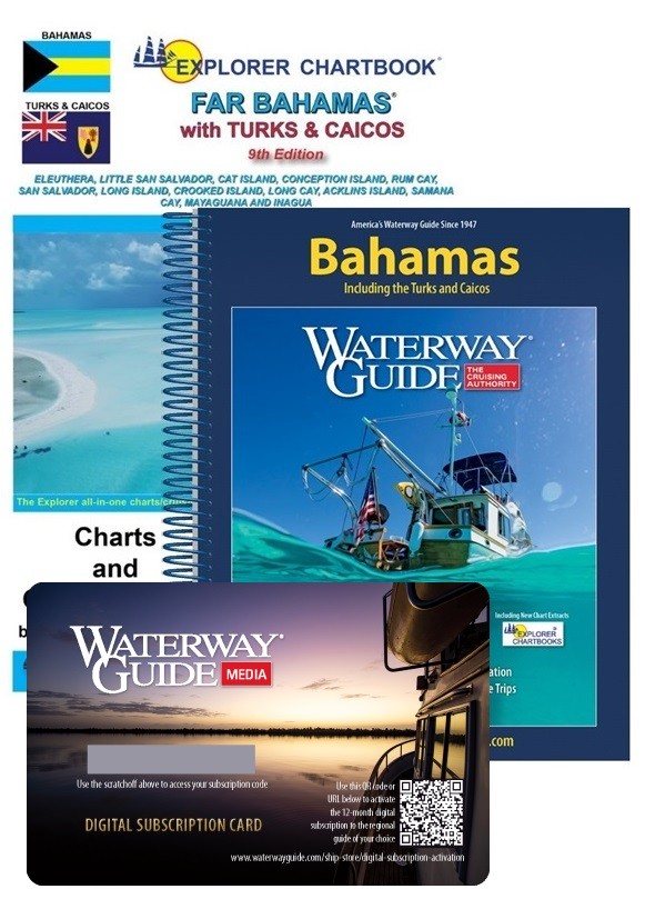
Explorer Chartbooks charts offer details and varied scales in their 12" x 18" water resistant format spiral bound books that contain charts with the latest updates, advice for where to provision, destinations, and more. Cruising, charting, and exploring The Bahamas since 1984, the team at Lewis Offshore, Ltd. publishes the leading three-volume set of chartbooks for the Near Bahamas, Exumas and Ragged Islands, and the Far Bahamas with Turks and Caicos. Electronic data from the Explorer Chartbooks is also available through numerous chart plotter and mobile app providers.
Here are the special bundle prices:
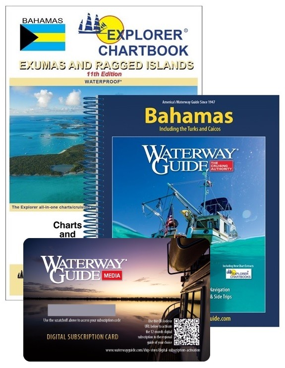
Far Bahamas with Turks and Caicos

- Aqua Map mobile navigation app for iOS and Android platforms
Aqua Map's mobile app interface displays the Explorer Chartbooks cartography in the same color scheme as the printed charts and maintains the complete downloadable Bahamas chart library in its repository of in-app purchases. Available in both raster and vector formats, the charts in Aqua Map are the same as in the Explorer Chartbooks and Waterway Guide's books. The charts are scalable, searchable, and contain additional data overlays for informed planning and navigation, including Waterway Guide marinas, anchorages, bridges, and fuel locations.

Aqua Map mobile app using Explorer Chartbooks cartography and Waterway Guide points of interest

Waterway Guide's Bahamas edition contains over 90 chart extracts from Explorer Chartbooks that provide situational awareness and citations for where to locate the complete charts by edition and page numbers. Note that the Nassau Harbor image is offered to support descriptions of the harbor and marina locations from the book.

This chart of Nassau Harbor is from the 11th edition of Near Bahamas.
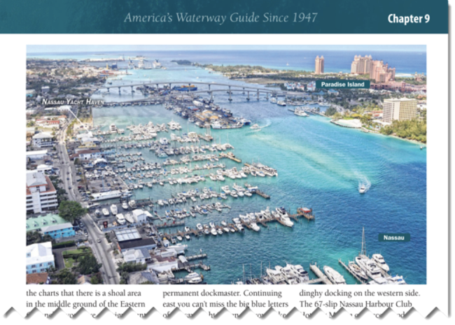
Aerial photo of Nassau Harbor from Waterway Guide to further assist in planning your approach and dockage.
The suite of Waterway Guide Bahamas, Explorer Chartbooks by Lewis Offshore, Ltd., and Aqua Map mobile navigation app is updated real-time, daily, and annually depending on how the information is being displayed. The publishers of these resources have combined their expertise and commitment to accuracy to offer the most reliable and accurate information for your next adventure to The Bahamas. Look for special pricing when purchasing bundles.
And consider joining the Bahamas Land Sea Facebook group.


- 4,000 Marinas
- Thousands of anchorages
- Updated Charts
- Mile-by-Mile Navigation
- Highlighted Alerts & Cautions
- Full-Color Aerial Photographs

The Waterway Guide App Makes it easy to leave reviews, use our explorer, and view waterway guide materials all on the go!


