The ICW north of Charleston offers wide scenic marsh views to the east and alternating marsh and forest on the west. Here the dredged ICW channel cuts through low marshy islets, across several small rivers and finally through a long land cut before reaching Charleston Harbor.
Numerous marsh streams and small rivers cross the ICW channel from all directions in this area. All of these can affect the tidal current flow and the side currents crossing the ICW channel. Slow boats need to pay more attention than fast ones but both should be aware that shoal areas can and do creep out near these crossings. The charted depths are somewhat optimistic along this stretch so be more precise in keeping to the channel at low tide. Our advice is that keeping in the center of the channel is always the best. If the water gets too "skinny," then start slightly moving from side to side in an attempt to find good water.
Note: From Mile 415 to about Mile 450 the National Ocean Service does not provide tidal current information. Generally the flood tidal current runs north. From Mile 450 to Mile 460 the current reversals cancel each other out.

To Isle of Palms–ICW Mile 439 to Mile 469
At Mile 456.7 you pass through a land cut between Isle of Palms on the ocean side and Goat Island on the mainland side. The two islands are quite different. The Isle of Palms is well developed with golf courses, resort hotels and restaurants, while Goat Island was formerly inhabited by only a few hearty souls who commuted to their jobs by boat. Now, although the island remains relatively isolated, more and more weekend getaway cottages have appeared on Goat Island.
The ICW channel between Mile 439 and Mile 456 is among the straightest stretches along the entire ICW. Be sure to mind the markers. At Mile 444 watch your wake and exercise caution when passing Andersonville.

At Mile 458.9 Isle of Palms Connector Bridge (65-foot fixed vertical clearance) crosses over the ICW to the Isle of Palms community. Based on stains on the tide boards there may only be 63 to 64 feet of clearance at high tide. Ben Sawyer Memorial (SC 703) Bridge (31-foot vertical clearance) at Mile 462.2 opens on signal, except from 7:00 a.m. to 9:00 a.m. and 4:00 p.m. to 6:00 p.m. year-round Monday through Friday (except federal holidays) when the draw need not open. The bridge need only open on the hour from 9:00 a.m. to 7:00 p.m. on weekends and holidays. Use the western span.
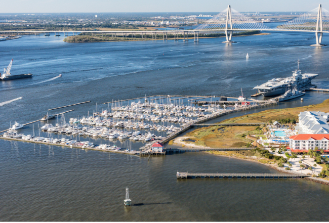
Learn more about cruising in the Charleston area in the Waterway Guide Mid-Atlantic edition.


- 4,000 Marinas
- Thousands of anchorages
- Updated Charts
- Mile-by-Mile Navigation
- Highlighted Alerts & Cautions
- Full-Color Aerial Photographs

The Waterway Guide App Makes it easy to leave reviews, use our explorer, and view waterway guide materials all on the go!


